Please recycle.
All Rights Reserved, Terms of Use


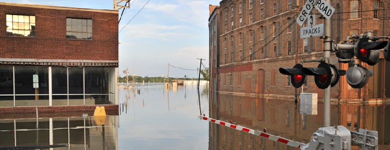
Flood Hazard Analysis
Land use activities, such as urban and industrial development, mining, and agriculture can impact existing hydrologic and sedimentation processes. Some of the key issues in floodplain management are the delineation of flood hazards, and the identification of possible measures to mitigate potential impacts.
We provide considerable experience using proven approaches for investigating flood
hazards. A multidisciplinary approach is often adopted, integrating elements of geologic
mapping, mapping of geomorphic features, detailed topographic data using Light Detection
and Ranging (LiDAR) technology, hydrologic analysis to determine flood frequencies
and peak discharges, hydraulic analysis of offsite and onsite drainage channels and
flood control pathways, retention and detention basin analysis, sediment transport,
and numerical simulations of flood propagation. We bring a high level of expertise
with an array of accepted and appropriate modeling tools and analysis techniques,
supplemented with Geographic Information Systems (GIS), and pre-
Our project experience and expertise includes:
- Floodplain mapping using US Geological Survey (USGS) topography and LiDAR data
- Geomorphology and historical flood analysis
- Simulation of flood propagation
- Development of potential flood hazard mitigation measures
- Hydraulic analysis of offsite and onsite flood corridors and pathways
- Detention and retention basin analysis
- Levee analysis
- Sediment transport analysis
- Channel stabilization analysis
- Scour analysis
- Coordination with FEMA regulatory agencies and flood control districts